


When planning my very first trip to Walt Disney World back in 1983. Websites like this was still more than a decade in the future. I had to rely on a book called Birnbaum’s Walt Disney World which showed detailed maps of both the Magic Kingdom and Epcot. The only two parks at the time. I spent hours with that book to make sure I got the most out of my vacation (which doubled as my honeymoon).
Today, you can find maps of any Disney themepark in the world online. Click this link for maps of Walt Disney World here on AllEars.net. When you enter any Disney park there are maps and entertainment guides readily available and in many languages. Shops and carts will have them, too. One of those things we take for granted by must cost Disney plenty to keep updated and fresh.
If you could not see, all these maps are of no use to you. In each Walt Disney World park there are braille maps for the blind and visually impaired. This one is located at the International Gateway entrance to World Showcase in Epcot.

Braille map of Epcot at the International Gateway entrance to World Showcase.
Nikon D700/28-300VR, 1/60s, f/16, ISO 1100, EV +0.3, 28mm focal length.
Lisa will be here on Thursday with her Disney Pic of the Week photo about Maps in the Disney parks.
Trending Now
We found your perfect Hollywood Studios tee.
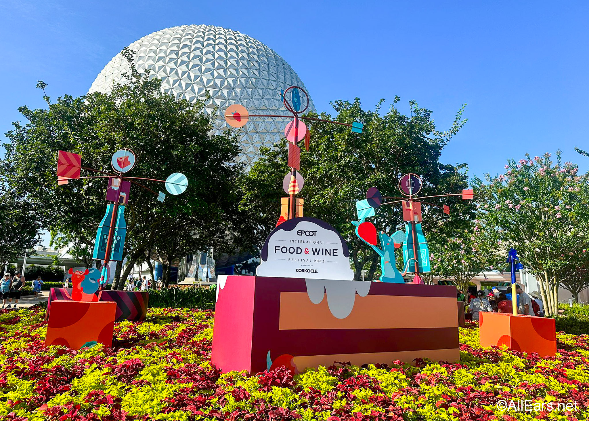
The dates for EPCOT's Food & Wine Festival are HERE!
These Disney World restaurants needs some TLC.
There's a NEW roller coaster coming to Epic Universe in Universal Orlando, and we've got...
I write about Disney World nearly every single day, and my coworkers are there EVERY...
Drinking around the world in Disney's EPCOT is so much fun, but you need to...
Disney just filed a new permit for work on the Imagination Pavilion and Journey Into...
No one will tell you this about your first day at Disney World, but WE...
This Disney Loungefly is a little late to the party...bur nevertheless you can snag it...
A Hollywood Studios attraction is closing for refurbishment in one week!
Let's take a look at everything that's been confirmed to return so far.
From time to time, rides and attractions are taken out of production temporarily for various...
There is a bathroom trend picking up steam in Disney World, and we are on...
Catch up on the newest Disney menu updates all in one place!
Tour dates confirm this 1980s superstar's return to Food & Wine in 2024.
We've got some of the BEST Cast Member tips just for YOU!
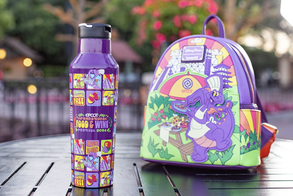
We've got a SNEAK PEEK at NEW souvenirs coming to the 2024 EPCOT Food &...
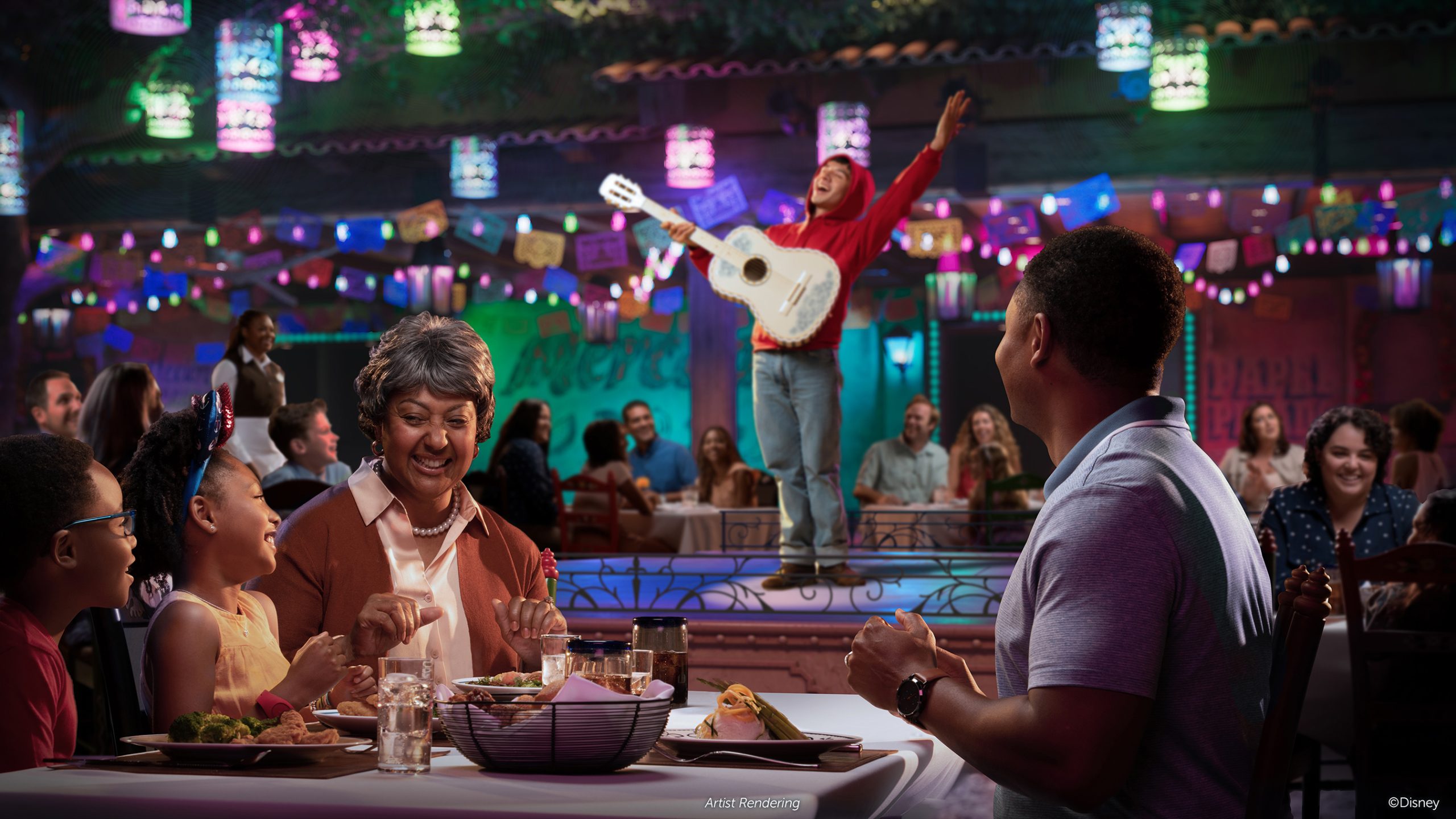
We've got an update for Disney's new 'Coco' restaurant!
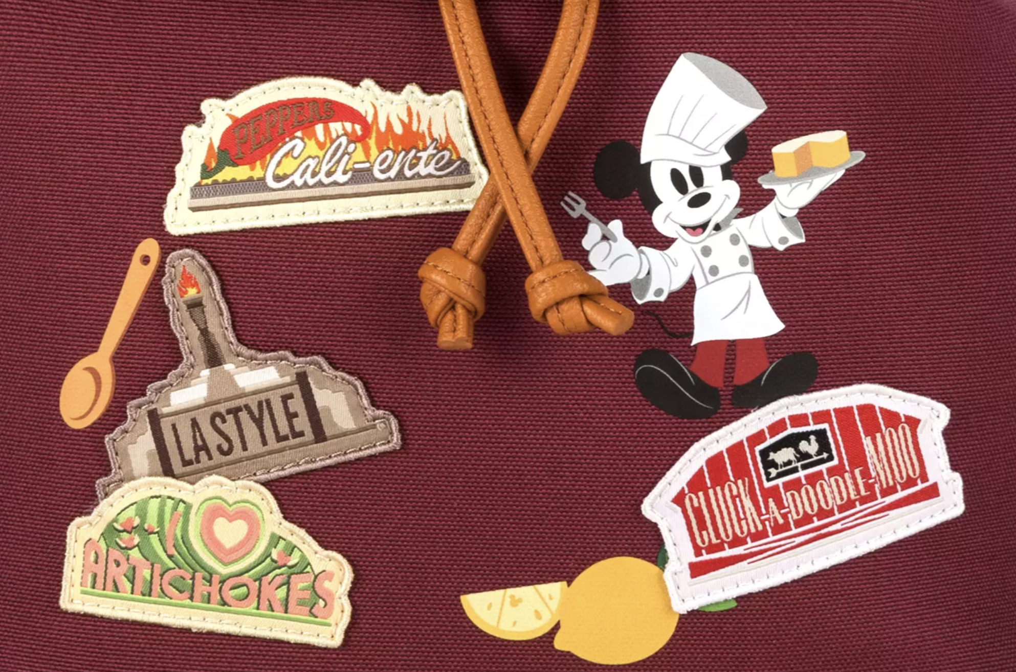
We've become quite fond of these new (and very popular) bags, which is why we're...
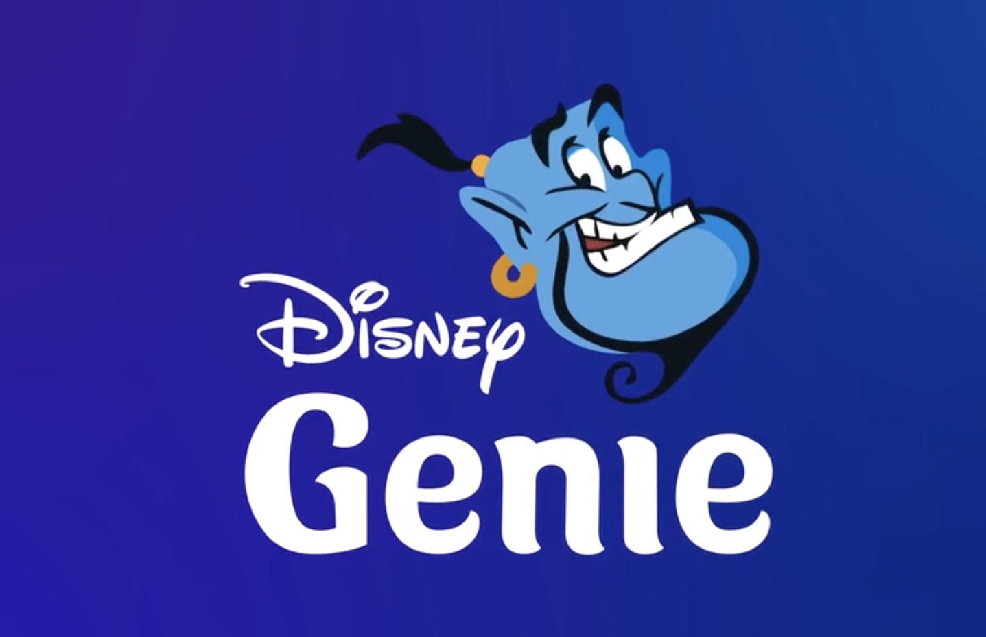
Genie+ is NOT the same as FastPass+. These are the critical differences you need to...